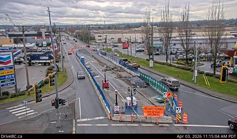
Peace River Regional District Live Webcam
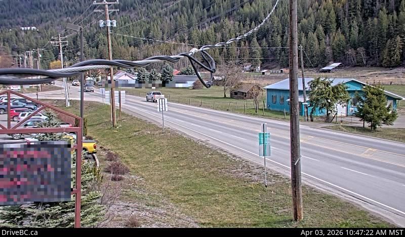
Experience real-time views from the Peace River Regional District live webcam located on Highway 97, approximately 90 km west of Chetwynd near the scenic Link Creek Bridge. This live feed captures the eastern stretch of the highway, providing valuable insights into current road and weather conditions in this remote part of British Columbia, Canada.
Why Monitor Highway 97 Live?
Highway 97 is a major transportation corridor through northern British Columbia. This webcam offers travelers, locals, and road safety officials a clear, up-to-date perspective on traffic flow, visibility, and weather impacts such as snow or rain. Whether planning a trip or simply curious about the area, this live stream is an essential tool.
Features of the Peace River Regional District Webcam
- High-definition live video feed from a strategic location near Link Creek Bridge
- Real-time updates on road and weather conditions
- Ideal for travelers heading east or west on Highway 97
- 24/7 accessibility for continuous monitoring
Explore Nearby Live Webcams
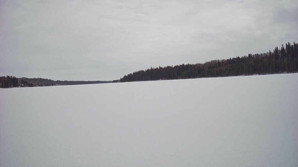
Expand your live viewing experience with additional webcams in nearby Canadian locations. Check out the Sturgeon County – North-west: Villeneuve Airport for a northeastern perspective, or view the natural beauty at Shellbrook No. 493: Sturgeon Lake. For more scenic views, visit the Improvement District No. 9 – East: Twin Cairns webcam.
Stay informed and connected with the Peace River Regional District live webcam on Highway 97. Whether you’re a commuter, tourist, or local resident, this live feed helps you make better travel decisions by providing timely and accurate visual data.
Explore More Webcams Nearby
Location
unknown, Canada
Comments (0)
No comments yet. Be the first to share your thoughts!