Juan De Fuca Electoral Area Live Webcam
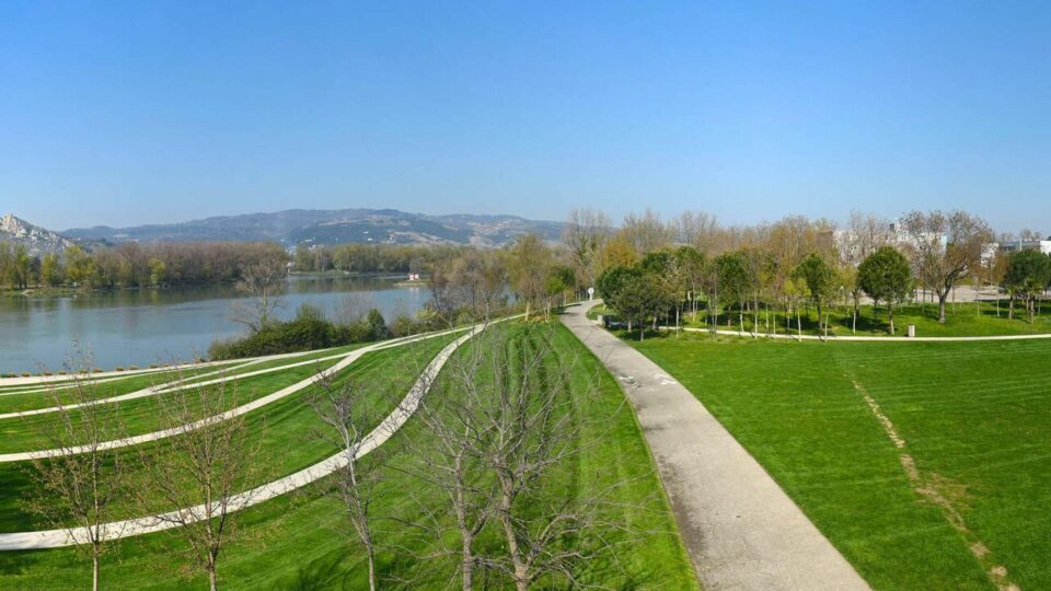
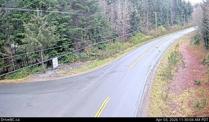
Experience real-time views of the Juan De Fuca Electoral Area in British Columbia, Canada, through this live webcam located at Highway 1 at Okotoks Road, looking south. This camera provides a continuous stream that captures traffic conditions, weather updates, and scenic views along one of the main highways in the region.
Monitor Traffic and Weather in Juan De Fuca Electoral Area
Whether you’re planning a trip or just want to stay informed about current road conditions, this live stream offers valuable insights into the flow of vehicles and the surrounding environment. The clear, south-facing perspective allows viewers to observe the highway’s status and local weather patterns in real time.
Explore Nearby Live Webcams
- Check out the Juan de Fuca Electoral Area – West: Highway 14 near Cormorant Way for westward views and trailhead activity.
- See the West Vancouver – North: Highway 1 at Cross Creek Road for northbound traffic and road conditions.
- Explore urban scenes at the Vancouver – South: Knight Street Bridge – Mitchell Island webcam for bridge and river views.
Stay connected to the latest updates from these strategic locations to plan your travels better and enjoy comprehensive views of this beautiful Canadian region. Watch now and explore live traffic and weather conditions anytime, anywhere.
Explore More Webcams Nearby
- Juan de Fuca Electoral Area – West: Highway 14 near Cormorant Way – Trailhead Drive, looking west
- West Vancouver – North: Highway 1 at Cross Creek Road – 15 Street exit in – looking north
- Richmond – South-west: true
- Vancouver – South: Knight Street Bridge – Mitchell Island
- Richmond – North: Highway 99 between Blundell Road overpass and Steveston off-ramp, looking north

Location
Juan de Fuca Electoral Area, Canada
Comments (0)
No comments yet. Be the first to share your thoughts!