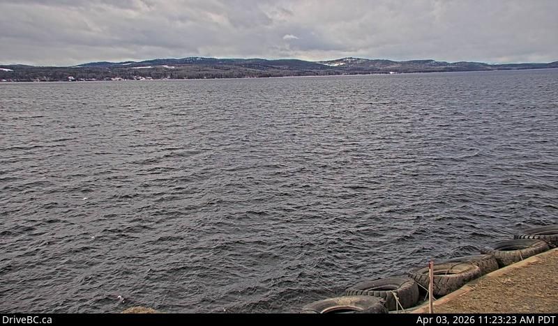
LIVE Area E › South: Highway 35 at Francois Lake Northbank Ferry Landing, looking at vessel loading area Area E , Canada 453K
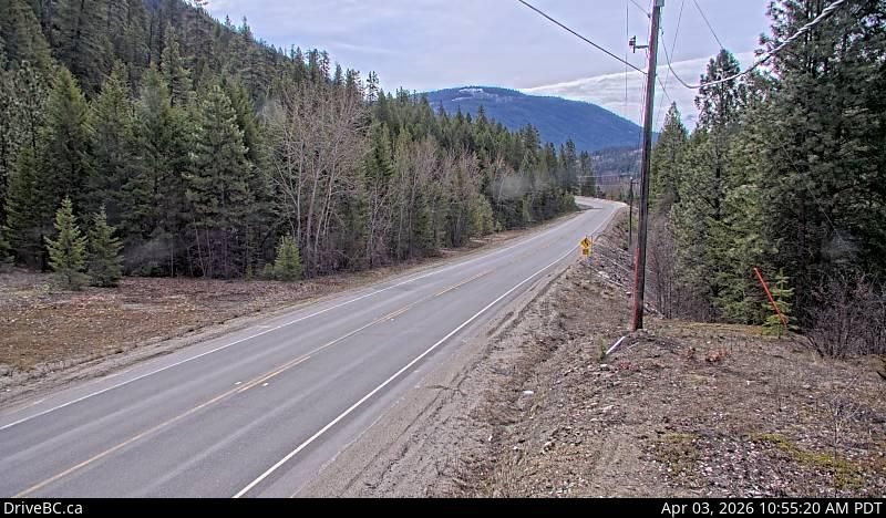
LIVE Area E › South: Highway 33 about 14 km north of Westbridge and 20 km south of Beaverdell, looking south Area E , Canada 437K
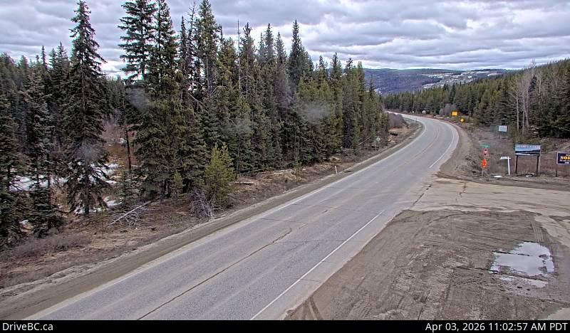
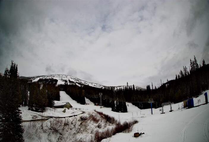
LIVE Area E › South: Highway 33 about 41 km southeast of Kelowna, just south of Big White Road, looking south Area E , Canada 142K
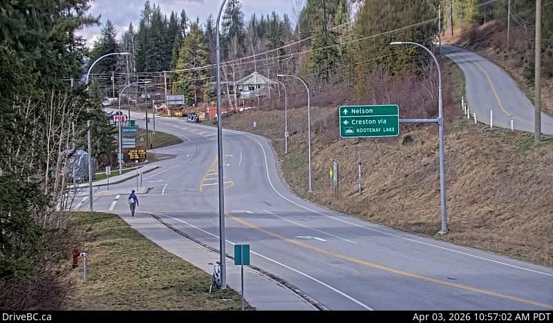
LIVE Area E › South-west: Highway 3A and Highway 31 at Balfour ferry terminal entrance of Ferry Landing Road, looking southwest Area E , Canada 873K
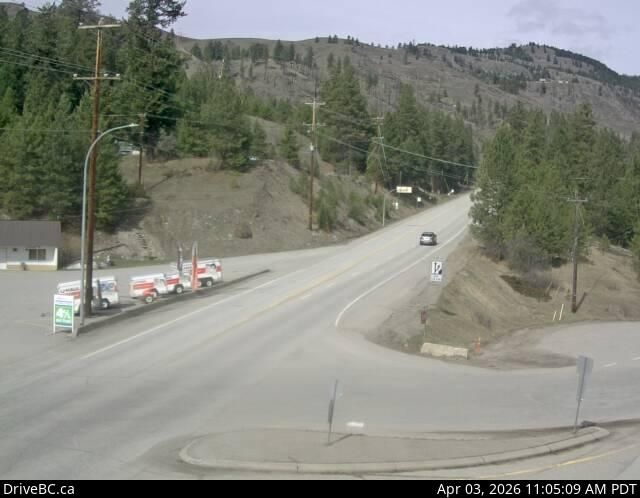
LIVE Area E › North-west: Highway 3 at Highway 33 junction in Rock Creek, looking northwest Area E , Canada 173K
 LIVE
LIVE