Area B South Live Webcam
LIVE
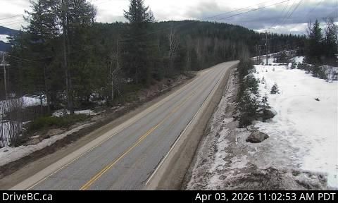
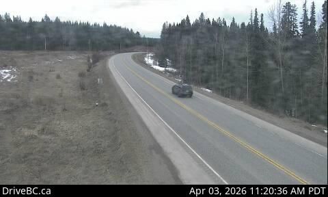
Experience real-time views from the Area B South live webcam, focused on Highway 16 about 22 kilometers east of Burns Lake at Augier Road. This high-quality live stream offers travelers, locals, and outdoor enthusiasts an up-to-date look at traffic patterns, road conditions, and weather in this scenic part of British Columbia.
Why Watch the Area B South Live Webcam?
- Real-Time Traffic Updates: Stay informed about current traffic flow and any road incidents along Highway 16 to plan your journey safely and efficiently.
- Weather Monitoring: Observe changing weather conditions directly, including snowfall or rain, which are crucial for drivers and visitors in this mountainous area.
- Scenic Views: Enjoy the natural beauty of Area B’s landscapes as the camera looks south, capturing the surrounding environment in every season.
Explore Nearby Live Webcams for Comprehensive Coverage
For broader regional insights, check out these additional live webcams in Area B:
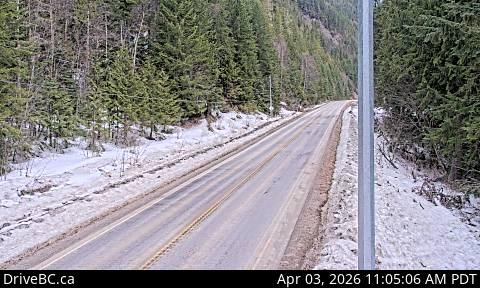
- Area B South: Highway 23 – Monitor traffic and conditions on another major route south of Burns Lake.
- Area B East: Highway 31 in Galena Pass – View eastbound travel through the picturesque Galena Pass area.
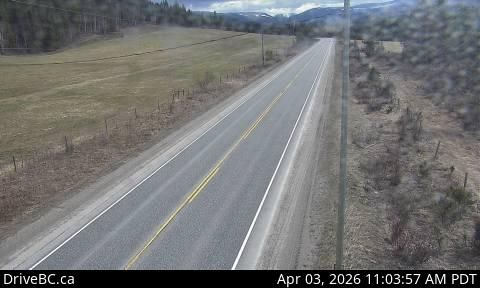
- Area B South: Highway 97 near Hush Lake Road – Check out road conditions north of Quesnel for a broader perspective.
Whether you’re planning a trip, commuting daily, or simply curious about the current conditions along Highway 16 at Augier Road, this live webcam is your go-to resource. Stay safe and enjoy the stunning views of Area B’s southern corridor.
Explore More Webcams Nearby
Interests

Location
Area B, Canada
Comments (0)
No comments yet. Be the first to share your thoughts!